Coastal Plain Investigation of Dense Non-Aqueous Phase Liquids
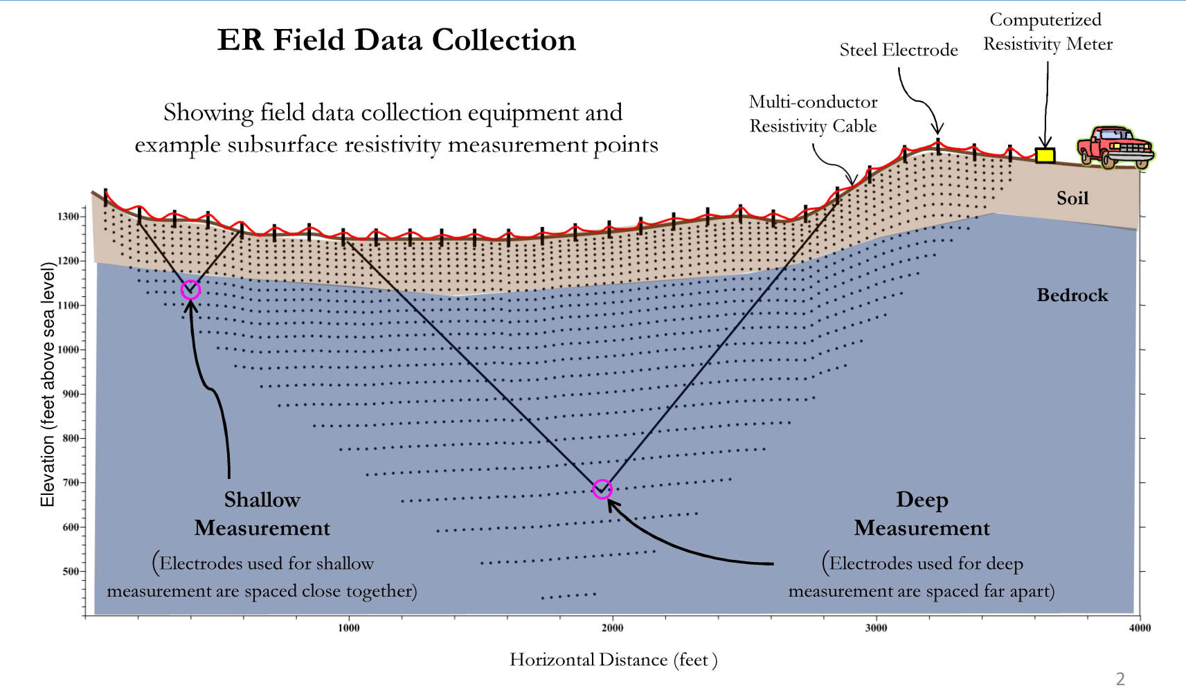
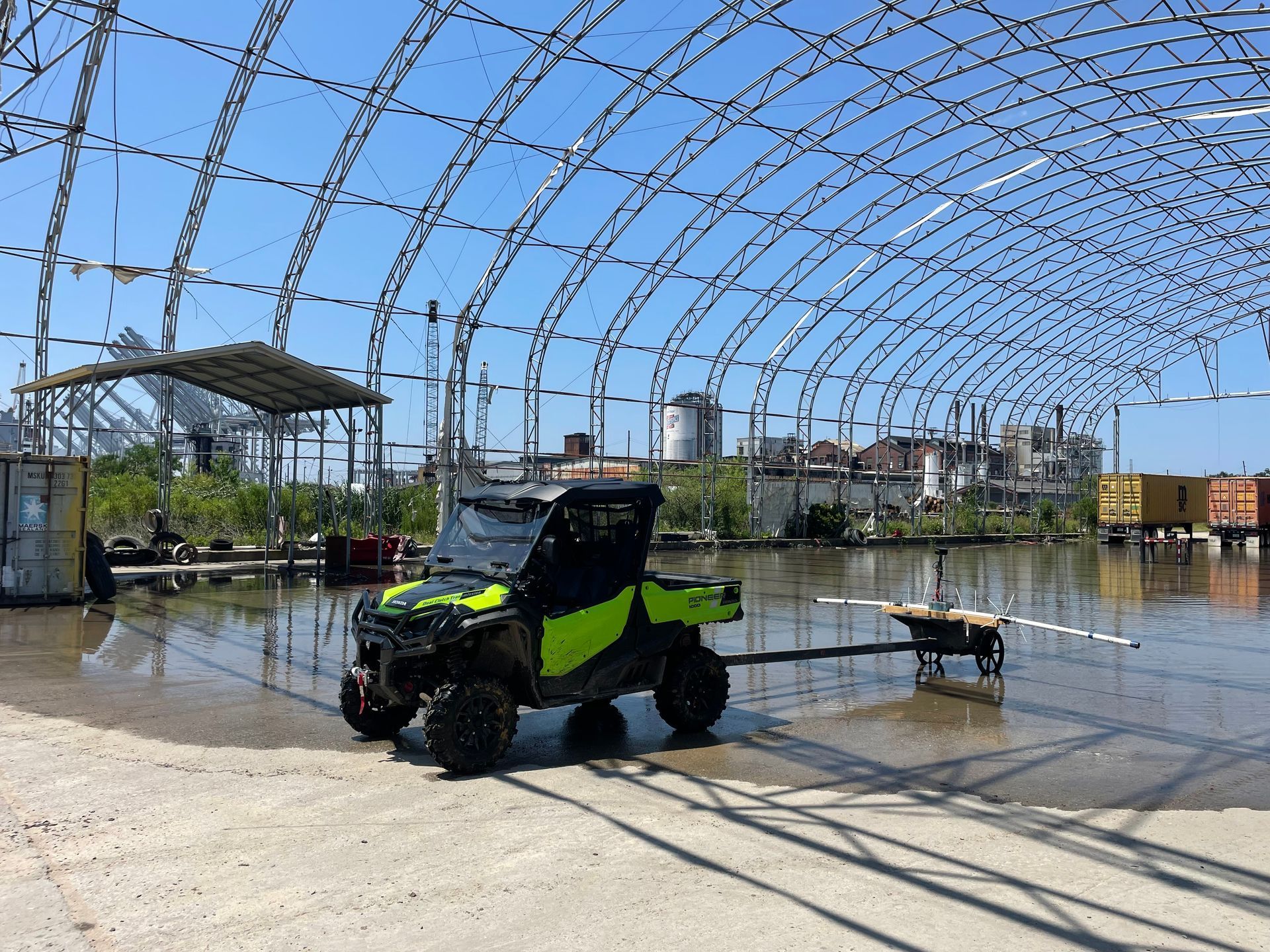
2D & 3D Geophysics
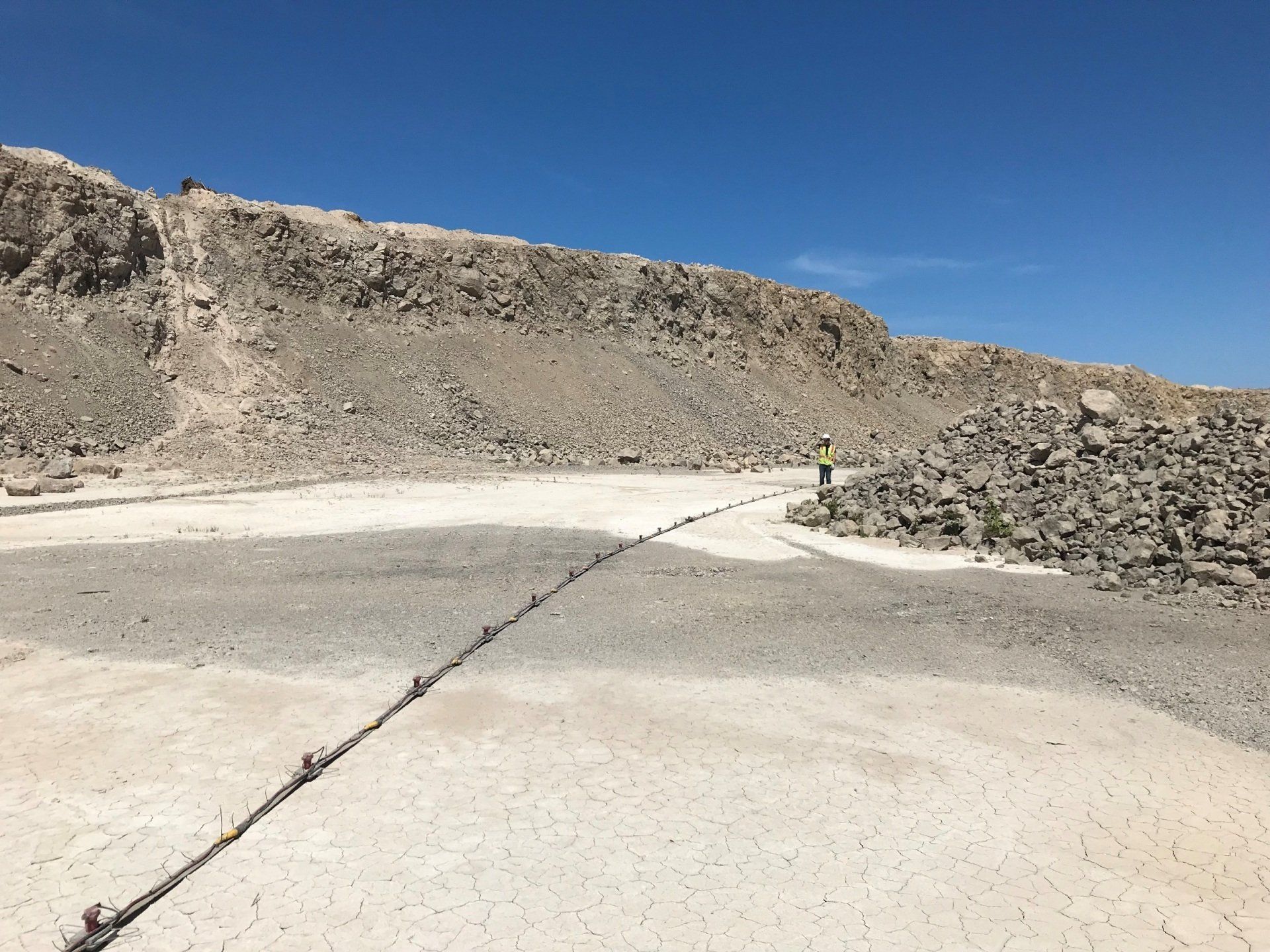
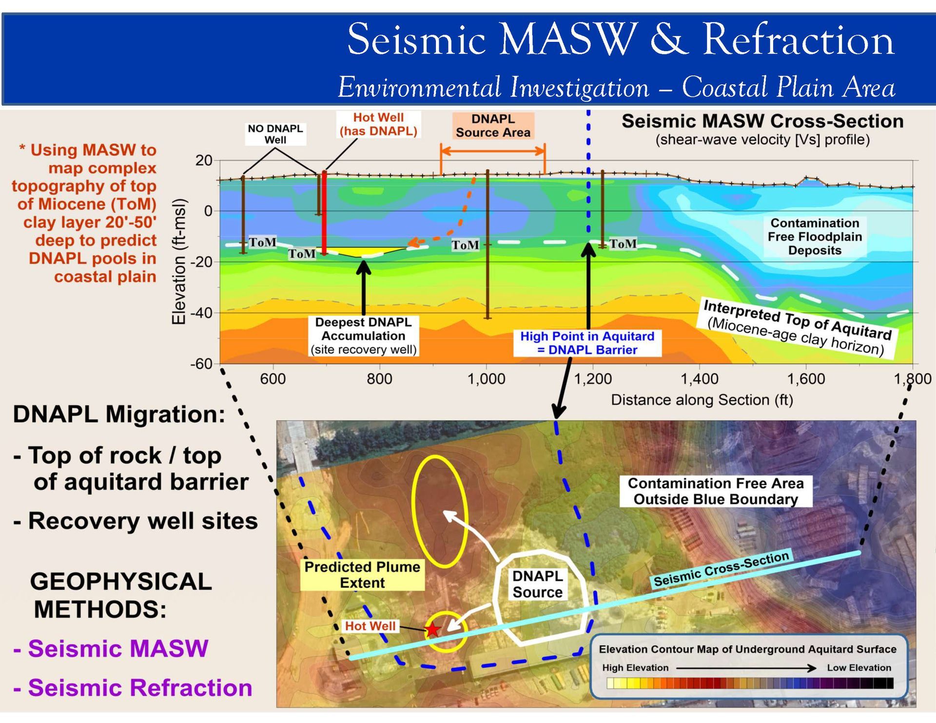
ARM used 2D and 3D surface geophysics to map the top of the Miocene (ToM) clay layer that acted as an aquitard and prevented the vertical migration of dense non-aqueous phase liquids (DNAPL).
Project Overview
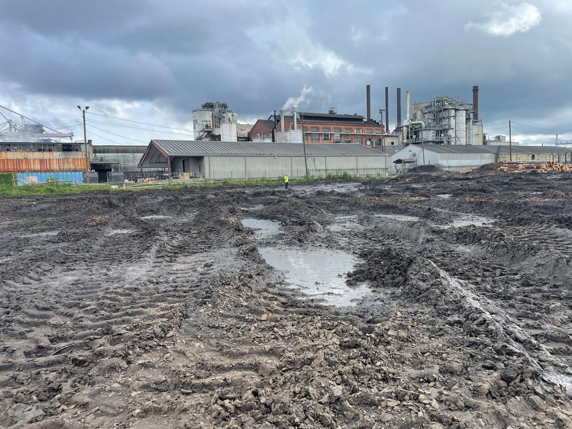
- The study area was approximately 58 acres in size and contained several immovable obstacles, including buildings, concrete pads, and large machinery. The cleanup and subsequent redevelopment of this site was stalled due to the sporadic detection of DNAPL across the site.
- ARM developed a high-precision ToM surface by mapping a consistent contrast in shear-wave velocity and electrical resistivity signature between softer Pleistocene sediments above and stiffer Miocene sediments below. The ToM boundary was ground-truthed by the Top of Miocene transitions seen in the drilling logs for soil borings and monitoring wells provided by the Client. ARM’s ToM surface model shows local topographic lows in the vicinity of wells with DNAPL product and indicating areas of DNAPL accumulation.
- ARM recommended eleven (11) primary invasive investigation areas to ground-truth ToM topographic lows, ER anomalies, and potential DNAPL migration pathways.
- ARM also identified several additional potential invasive investigation areas that correspond to higher soil conductivity anomalies which could be caused by contaminated soil conditions in the upper ~15 feet of the subsurface.
Other Project Experience
Municipal Authority
ER Survey & Well Siting