Geophysics Services for Subsurface Investigation & Risk Mitigation
Encountering unknown subsurface conditions can be costly for your project, both in money spent and time lost. ARM Geophysics has the in-house knowledge and equipment to help you avoid the unexpected and to provide unique insights into the earth’s subsurface.
Our Geophysics Services:
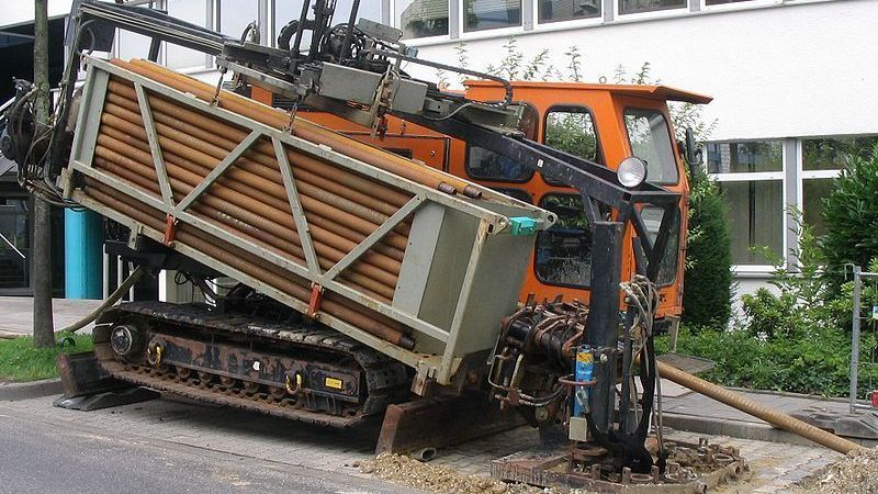
Surface Geophysics
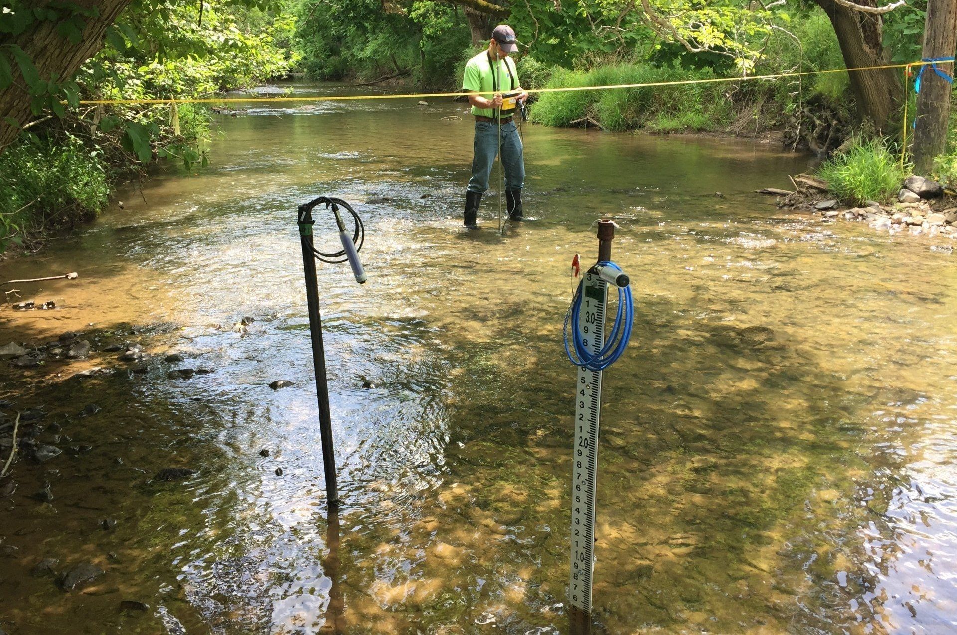
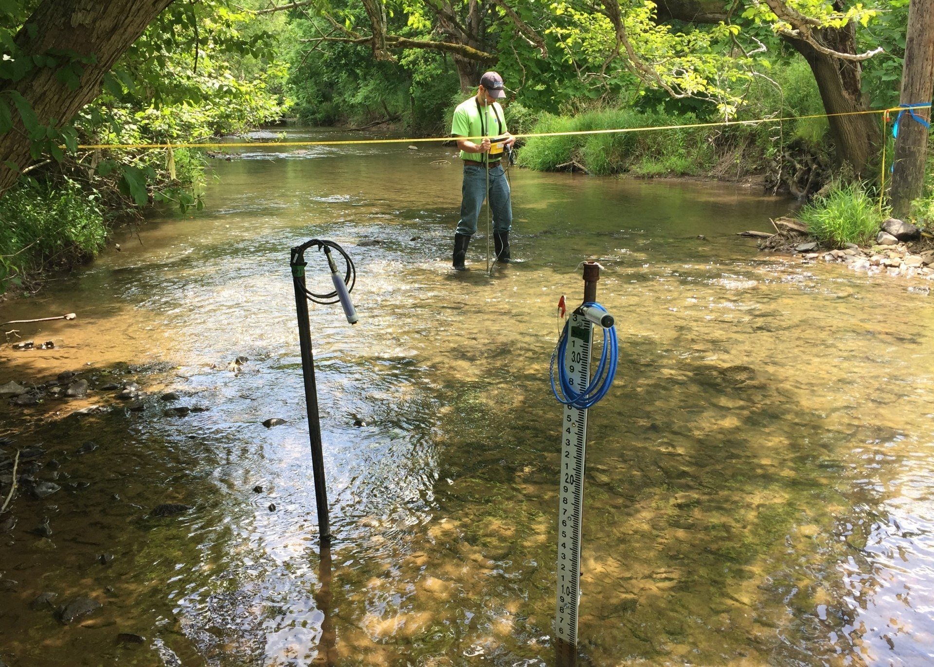
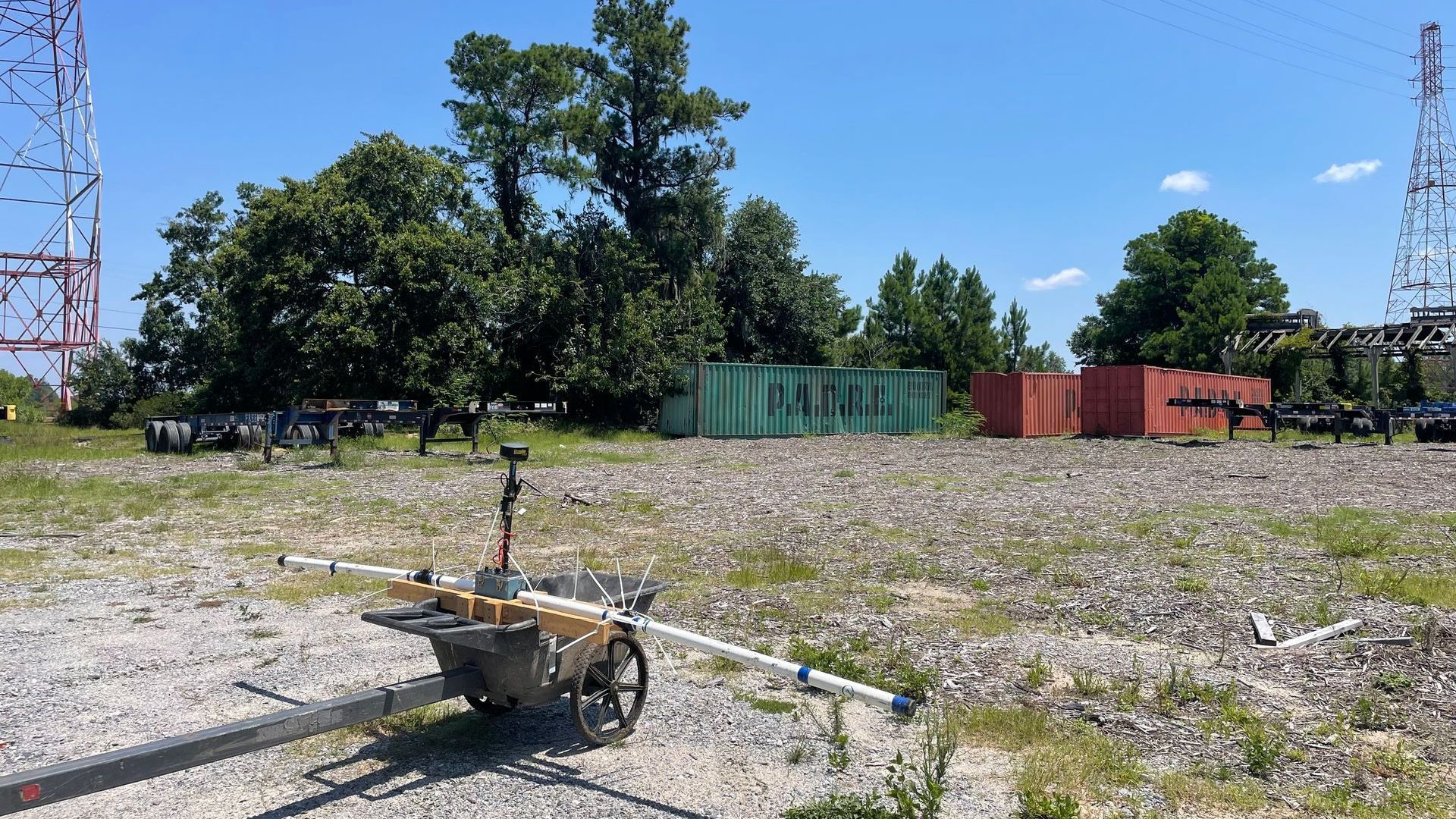
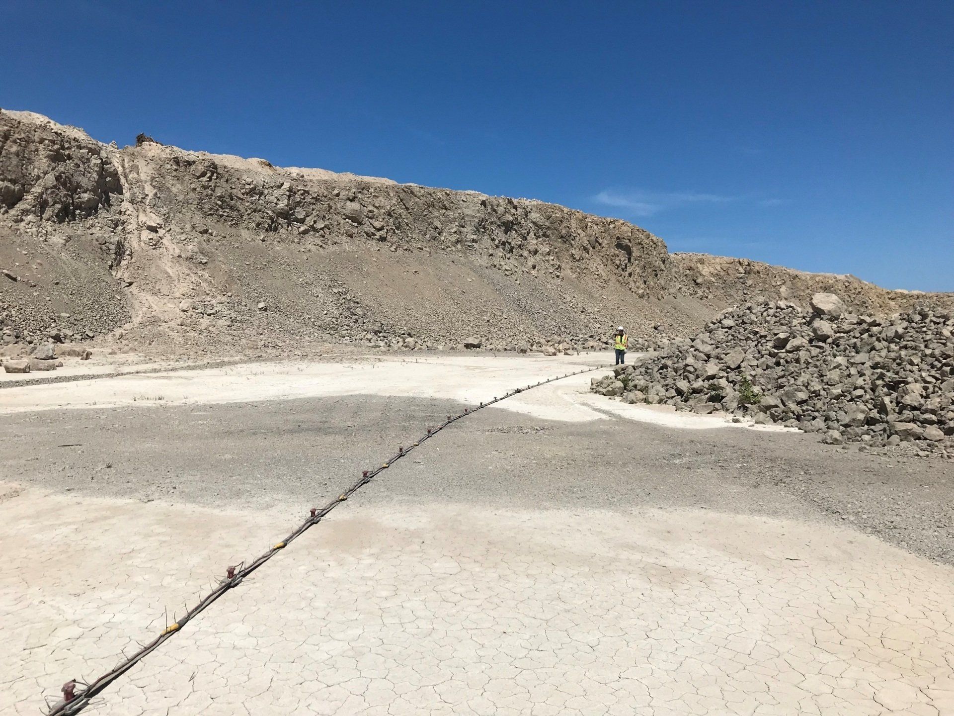
Surface geophysical methods provide non-invasive insight into subsurface conditions, supporting site characterization, infrastructure planning, and environmental investigations.
- Surface geophysical methods provide non-invasive insight into subsurface conditions, supporting site characterization, infrastructure planning, and environmental investigations.
- ARM Geophysics can quickly screen large areas to determine areas of thicker soil and/or shallow bedrock, which may then be investigated with a focused invasive drilling program that is much more cost effective.
- Geoenvironmental problems require out of the box solutions, such as deploying the proper geophysical tool(s) based on the project’s goals & objectives.
- 3D imaging tools can vastly improve the understanding of the subsurface conditions for regulators and other stakeholders, resulting in better and faster decisions.
- Geophysical tools can be used to significantly de-risk projects by being implemented as part of due diligence efforts.
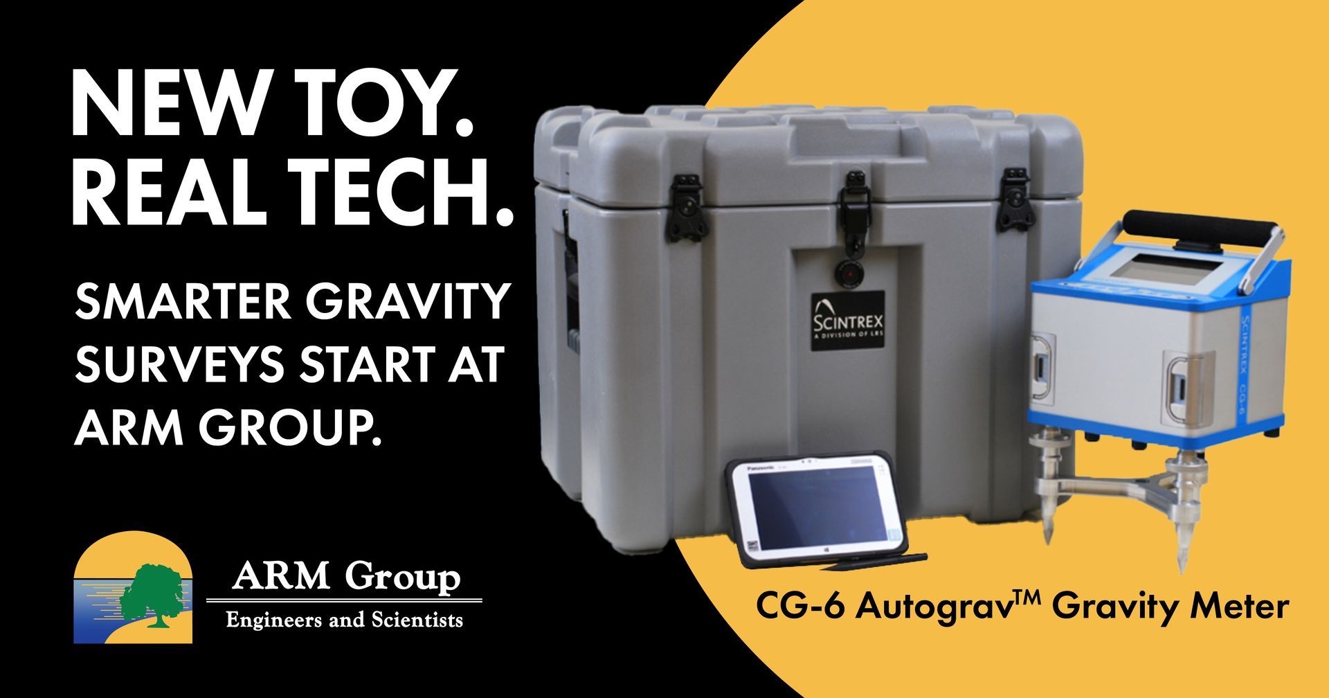
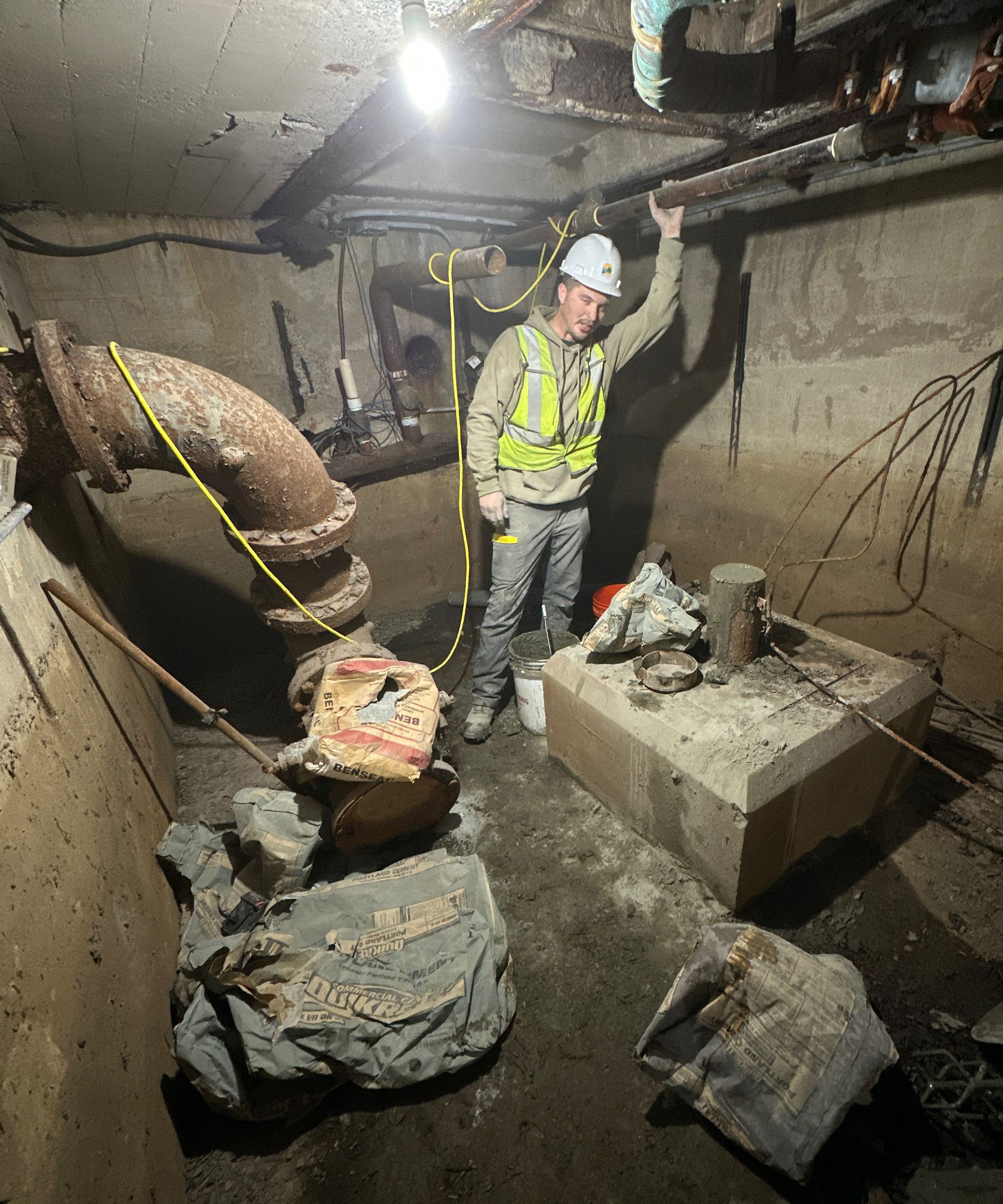
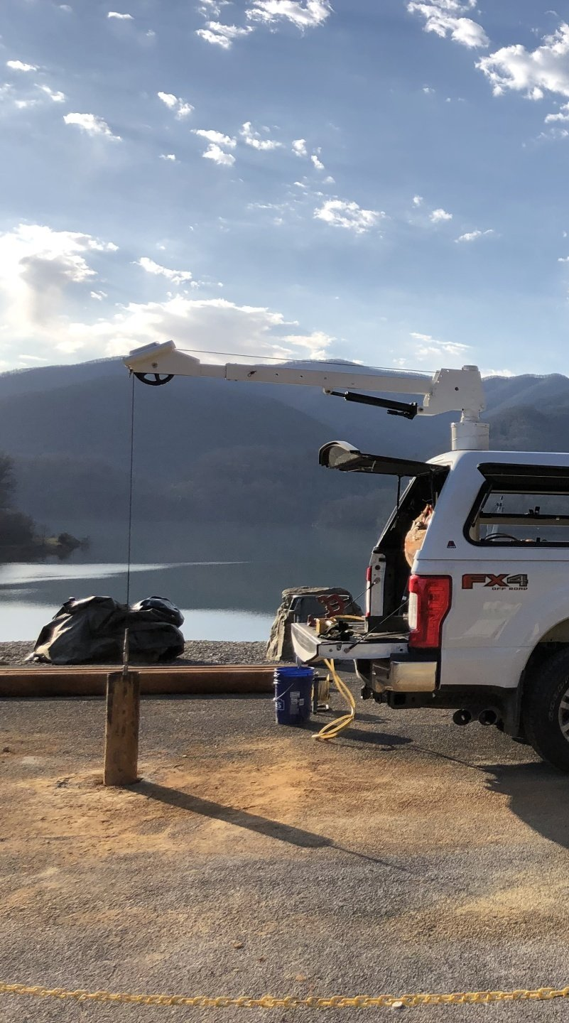
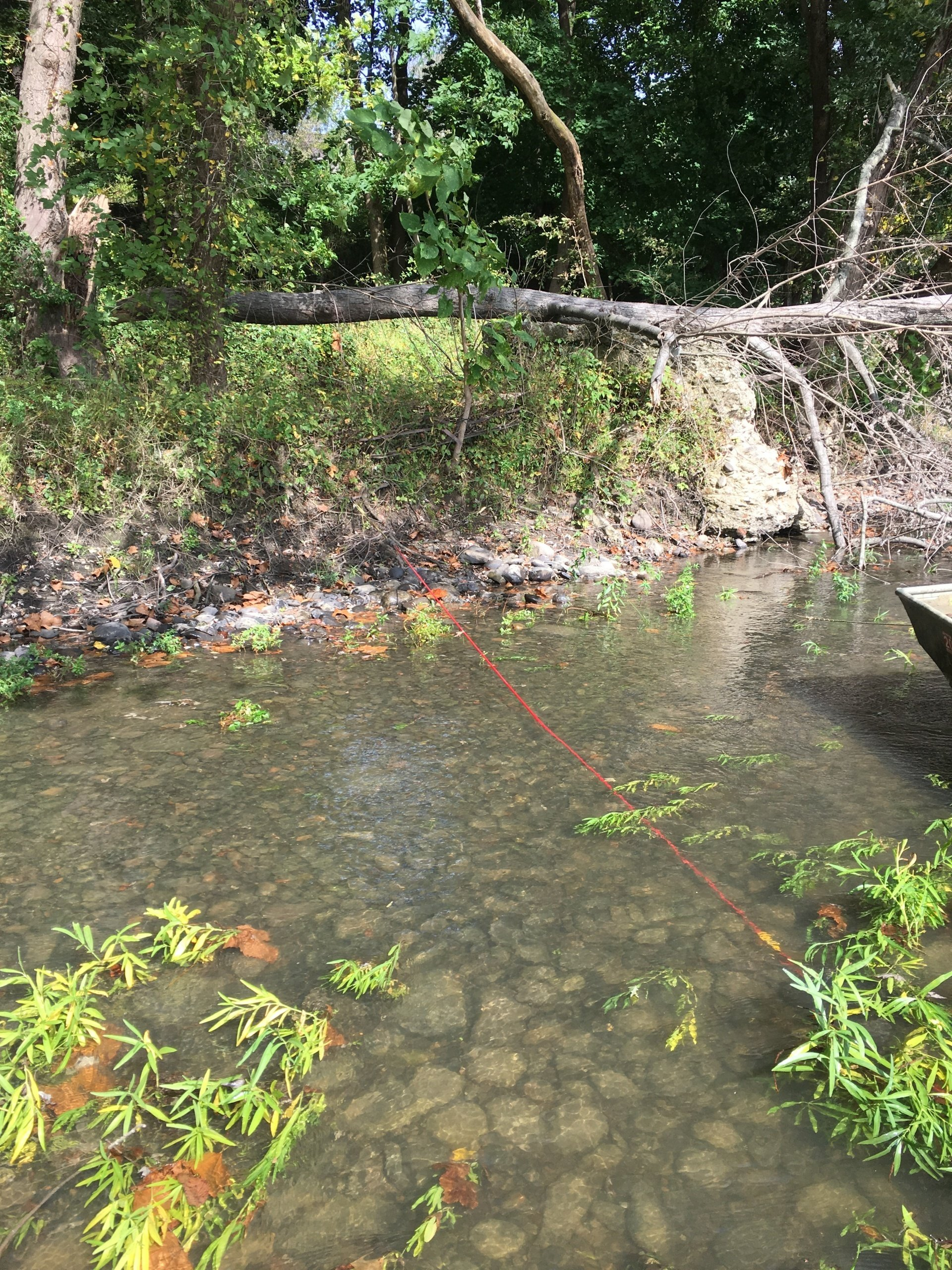
Borehole Geophysics
Borehole geophysical logging and imaging enhances subsurface data collection and interpretation by providing continuous, in-situ measurements within wells or boreholes.
- ARM’s televiewers provide high resolution true-color images that are oriented with respect to true north, offering a better and more cost-effective alternative to rock cores.
- By using ARM’s downhole logging and imaging tools, the Conceptual Site Model can be much more robust, resulting in more credibility with regulators and other stakeholders.
- ARM has a broader range of downhole tools than any competitor in the region, including radioactive source tools such as density & neutron to measure porosity of the bedrock.
- ARM’s vast experience includes projects from coast to coast and from Alaska to Puerto Rico.
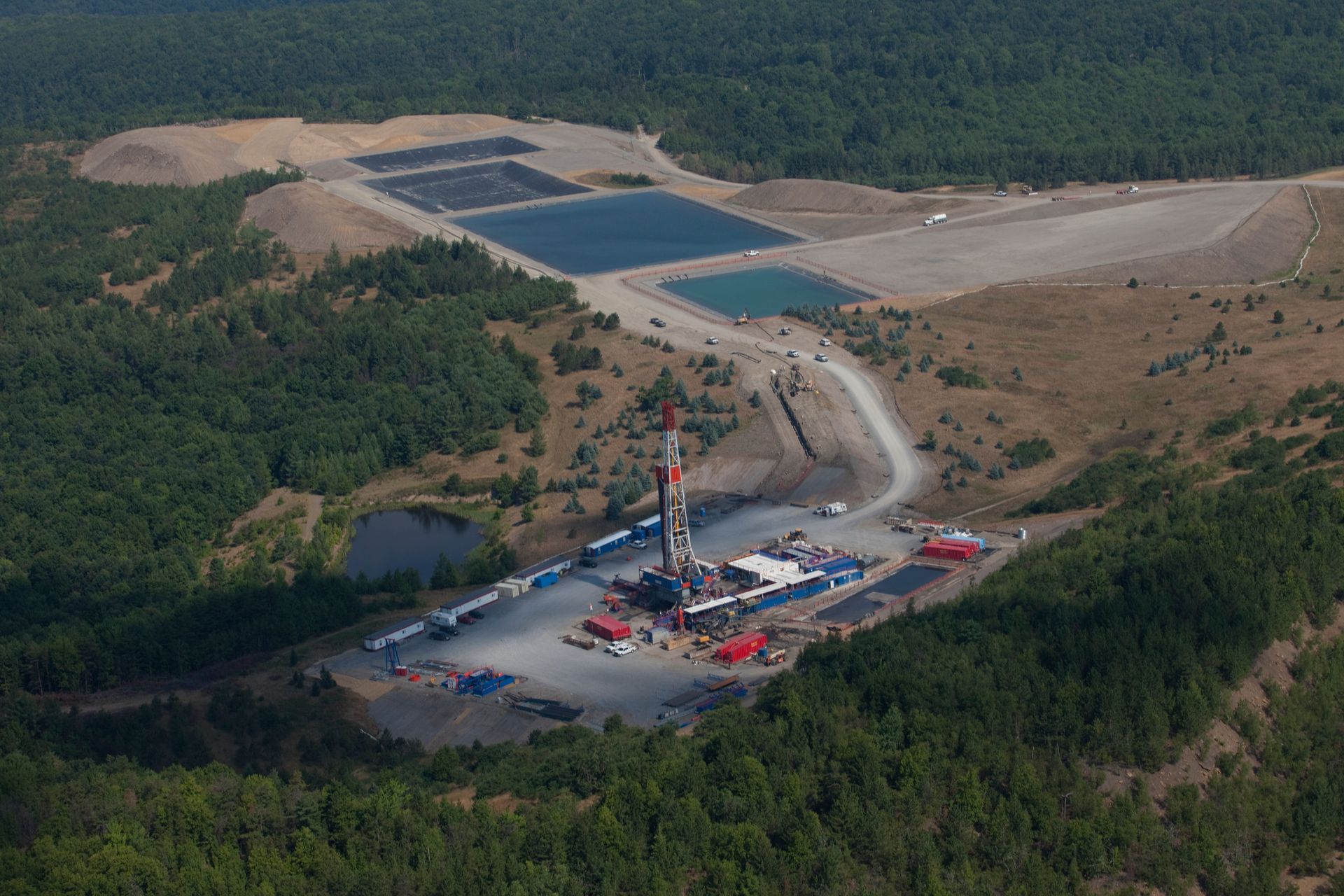
Geophysics Markets Served

Get in Touch with our Geophysics Team
Have questions about subsurface conditions or need support for your next project? Our geophysics experts are here to help. Fill out the form below and we’ll get back to you promptly.
Geophysical Services
Featured Projects
See The Latest News in Geophsyics